Skip to main content
The EAMENA Blog
Sort by
Publication date (most recent first)
Publication date (oldest first)
EAMENA-MarEA Open Access Policy
15 April 2021
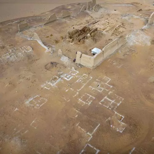
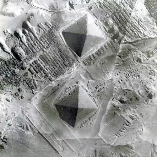
The View from Above: Aerial Photography and Archaeology in Egypt
05 November 2020
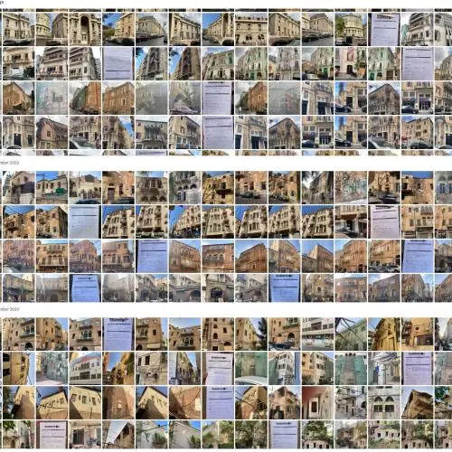
The DGA-EAMENA 'Beirut Explosion Heritage Buildings Survey': EAMENA's Response to the Post-disaster Cultural Emergency in Lebanon
16 October 2020
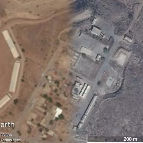
EAMENA leads reform on satellite imagery restrictions in the Levant
30 June 2020
Arcadia awards £3.3m for the continuation of the Endangered Archaeology in the Middle East and North Africa project (EAMENA)
29 June 2020
The Endangered Archaeological Site of Faida
10 June 2020
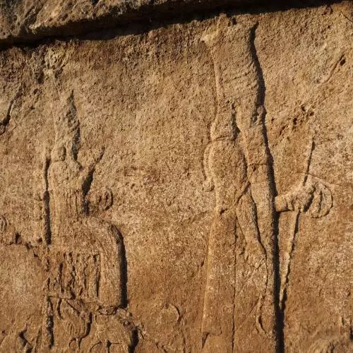
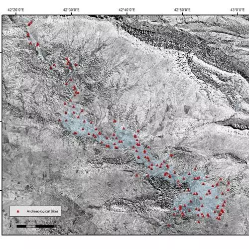
The lost archaeological sites of the Mosul Dam Lake
01 June 2020
Reflections on the EAMENA aerial photograph appeal
01 May 2020
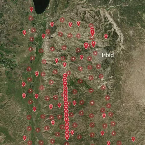
Looking back at the Jordan Valley
02 April 2020
A practical introduction to landscape archaeology: investigating the endangered archaeology of Tabriz, Iran
09 March 2020
Pagination
Previous page
Previous
Page
1
Page
2
Current page
3
Page
4
Page
5
Page
6
Page
7
…
Page
9
Next page
Next