Skip to main content
The EAMENA Blog
Sort by
Publication date (most recent first)
Publication date (oldest first)
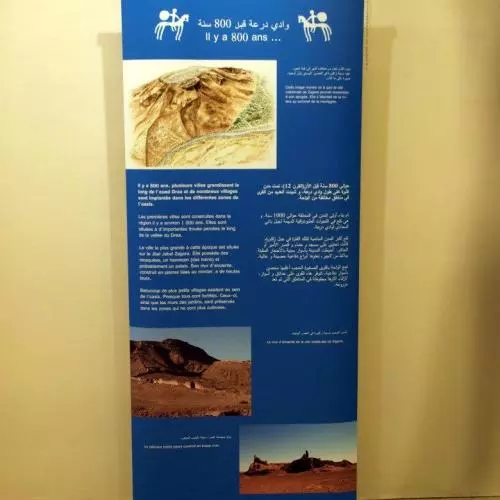
Pop-up exhibition in the Wadi Draa, Morocco
12 December 2017
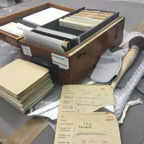
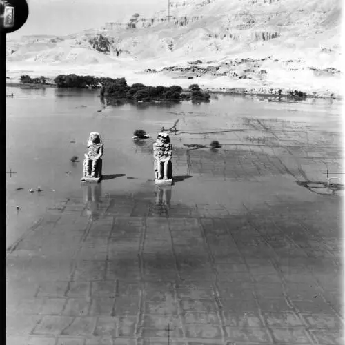
The UCL Institute of Archaeology Air Survey Photographs: an archaeological reference collection of Royal Air Force aerial imagery from 1918-1939
04 September 2017
Visiting sites on the ground in Jordan, Part 1: Amra pendant 1
03 August 2017
Historical aerial photographs and archaeology in the Middle East and North Africa
14 June 2017
The EAMENA Aerial Photograph Appeal
17 May 2017
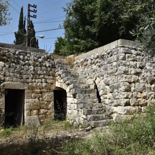
Lebanon's Heritage at Risk: Part 3
08 May 2017
Lebanon's Heritage at Risk: Part 2
30 March 2017
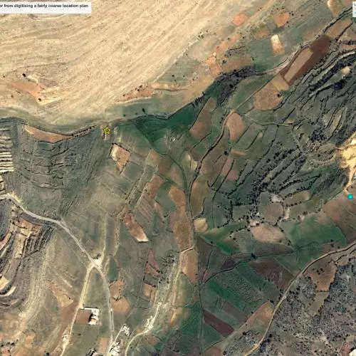
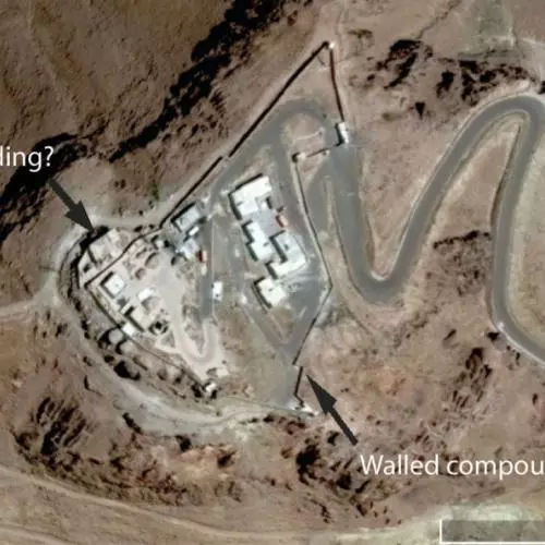
The difficulty of verifying heritage damage reports
13 February 2017
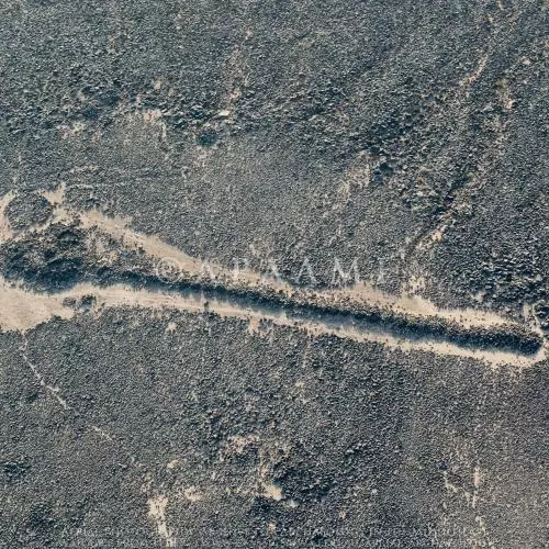
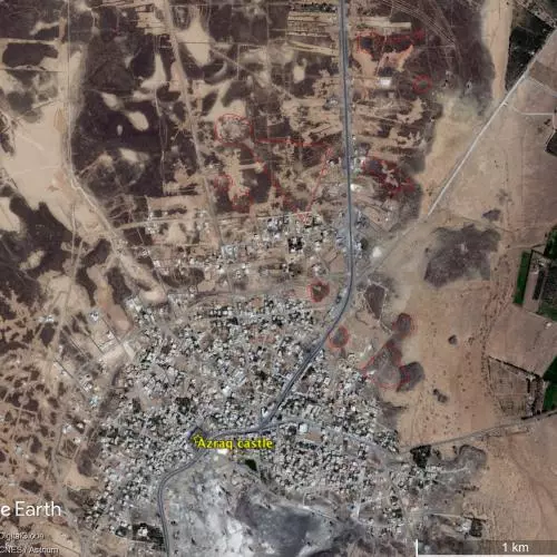
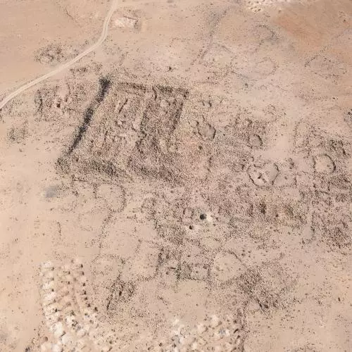
Endangered Archaeology as captured with the Aerial Archaeology in Jordan Project: September 2016 Season
26 January 2017
Training in Beirut
17 January 2017
Pagination
Previous page
Previous
Page
1
…
Page
3
Page
4
Page
5
Current page
6
Page
7
Page
8
Page
9
Next page
Next